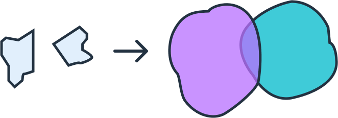
🌀 Buffer Transformation
A buffer in Geographic Information Systems (GIS) is a zone created at a specified distance around a geographic feature such as a point, line, or polygon. Buffers are one of the most widely used spatial analysis tools because they allow you to analyze the proximity and influence of features.
🧭 What is a Buffer?
- Point Buffers — circular zones around a location (e.g., cellular towers, wells).
- Line Buffers — bands around linear features (e.g., roads, rivers) for corridors, pollution analysis, or setback rules.
- Polygon Buffers — rings around polygons (e.g., parks, industrial zones) to model impact or regulatory zones.
Depending on the data, buffers help answer questions like: “What falls within 500 meters of this road?” or “Which buildings are inside a 1 km zone around the river?”
⚙️ Parameters
The buffer transformation requires two parameters:
{
  "type": "buffer",
  "params": {
    "distance": <number>,        // how far to buffer
    "units": "meters|kilometers|feet|miles"
  }
}
- distance — the buffer radius (float).
- units — measurement unit (
meters,kilometers,feet,miles).
📑 Example Usage
Example Config (GeoJSON input → buffered SHP output)
{
  "input": { "format": "geojson" },
  "transformations": [
    {
      "type": "buffer",
      "params": { "distance": 250, "units": "meters" }
    }
  ],
  "output": { "format": "shp", "epsg": 4326 }
}
Example API Call
curl -X POST https://api.geoflip.io/transform \
  -F 'config={
    "input":{"format":"geojson"},
    "transformations":[{"type":"buffer","params":{"distance":250,"units":"meters"}}],
    "output":{"format":"shp","epsg":4326}
  }' \
  -F "input_file=@/path/to/input.geojson;type=application/geo+json"
Response
{ "job_id": "abcd-ef01-2345-6789" }
Poll for status, then download from the returned output_url when the job reaches SUCCESS.
✅ Notes
- Buffers work with GeoJSON, SHP, and DXF inputs.
- Ensure
input.epsgis set for DXF files (since CRS is not stored in DXF). - Output can be requested in
geojson,shp, ordxf. - Multiple transformations can be chained, e.g., buffer → union.
➡️ Next Steps
- Learn about the Union Transformation
- See the API Overview for job flow